

Touching the stone
Early in 1977, in a classroom in Maidenhead, a callow youth raised his hand in response to a question from the Head of Upper School. Along with some of his classmates he thought it sounded like a good idea to attempt the Lyke Wake Walk. Just a 40 mile walk across the moors in less than 24 hours and you could get a badge shaped like a coffin. How hard could it be? Along with his classmates he embarked on a training regime. But being teenage boys, the training regime consisted of a single 40 mile walk. That completed, they were ready. But for reasons long forgotten the attempt was cancelled. But the callow youth did not forget. Unlike his classmates, Noel Churchill – for it was he – kept the Lyke Wake Walk alive in his mind. And annoyed other people by talking about it.
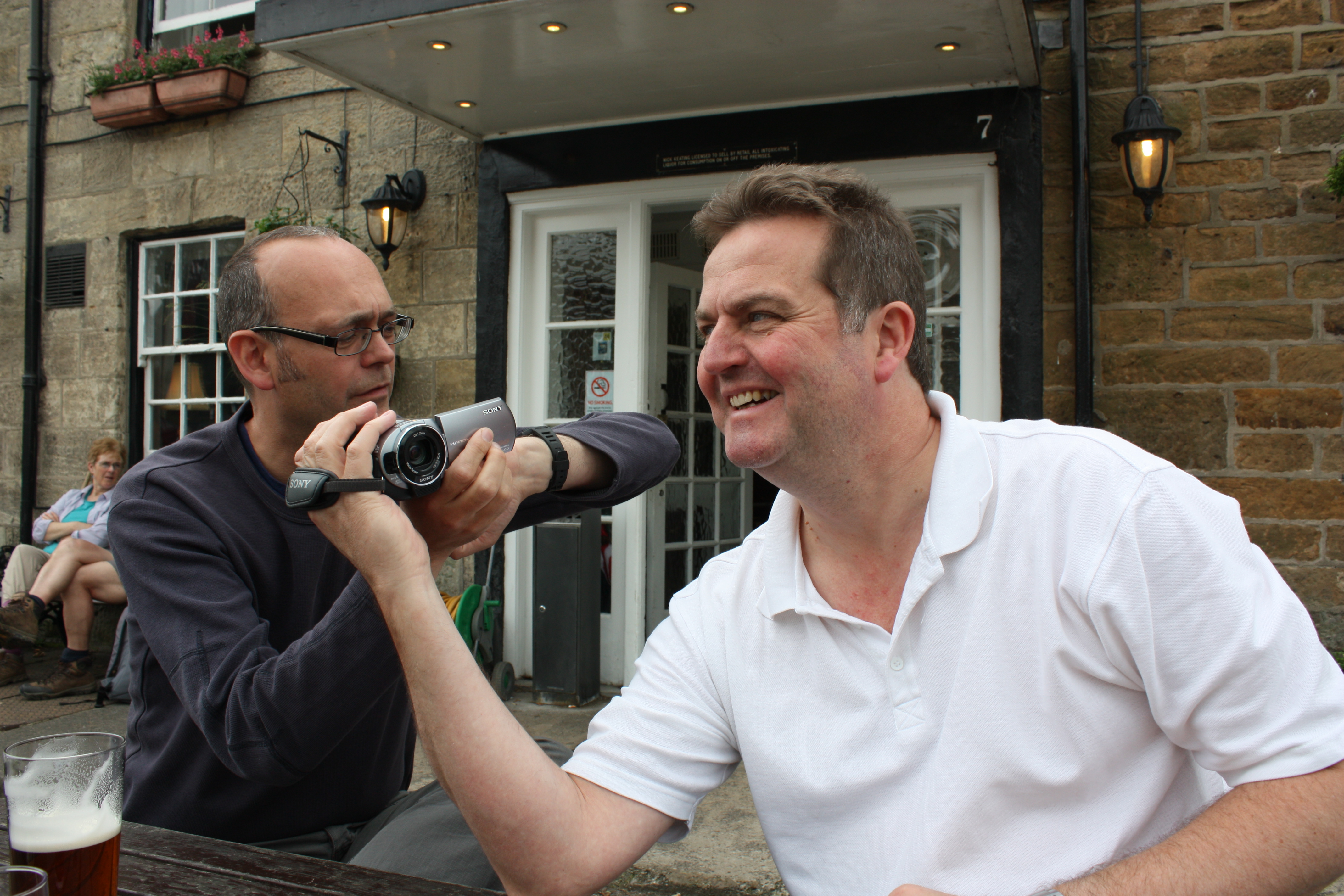
Some decades later, 3 men arrived in Osmotherly. The callow youth had grown into a broad-shouldered mature gentleman. OK… he’s a fat old man. But the dream is still alive and his brother-in-law, Russ, has listened to his whimperings and organised the trip for him. In the Queen Catherine, Russ knocked back a couple of pints of Tetley’s and a plate of lasagne and said let’s go. We made our way to the car park at the top of the reservoir, girded our loins and grouped ourselves by the Lyke Wake Walk stone.
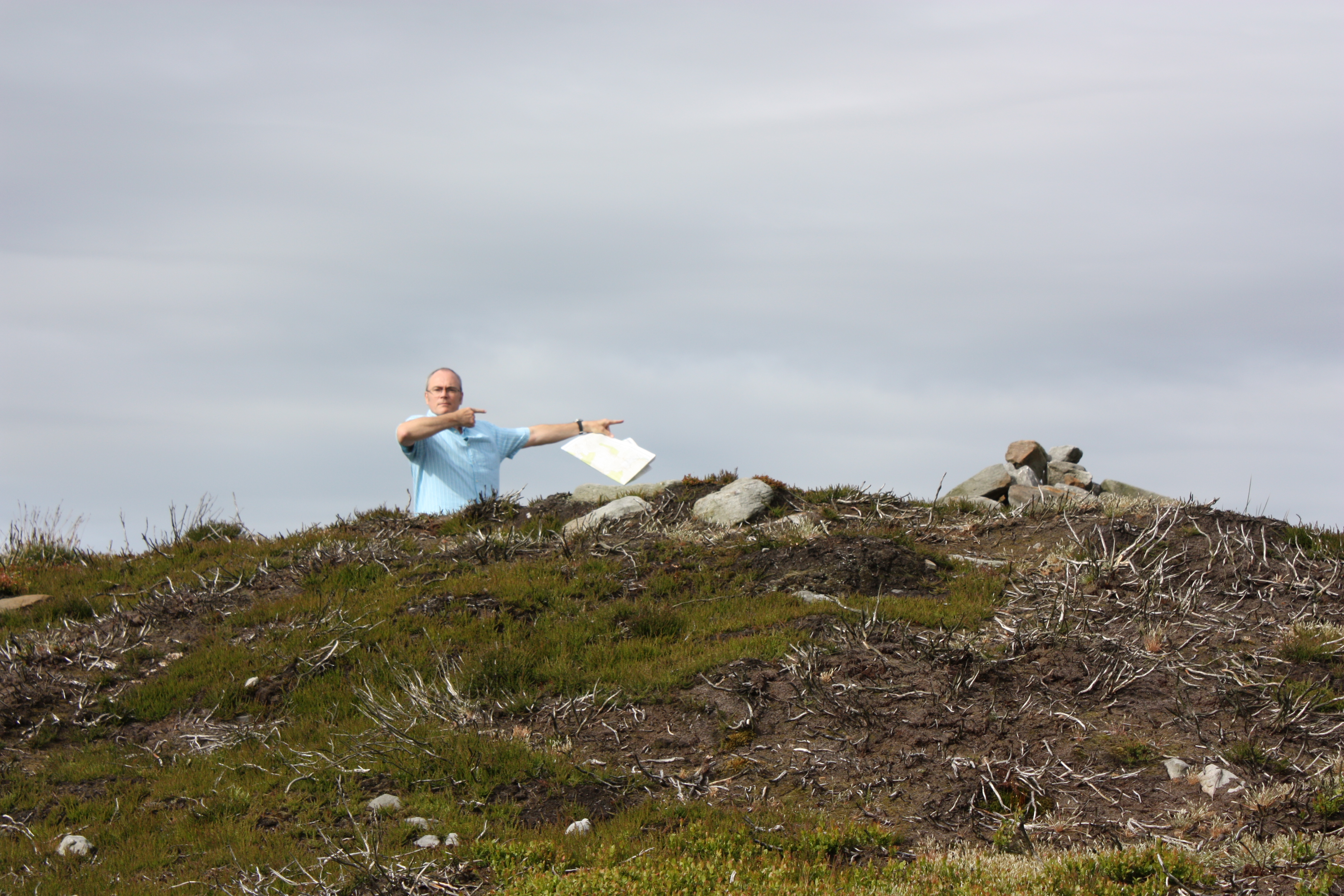
Three men touching the stone.
At 13:21 precisely, we let go of the stone. And set off. In the wrong direction. After months of preparation and map-marking, and “flying” the route online, I still cannot quite believe we did that. But, we were reassured by the rules that state that you go from one stone to the other and what happens in between is pretty much up to you, as long as you walk. And “you can’t get lost; you just take an alternative route”. So our route to the cattle grid was unorthodox, but permissible.

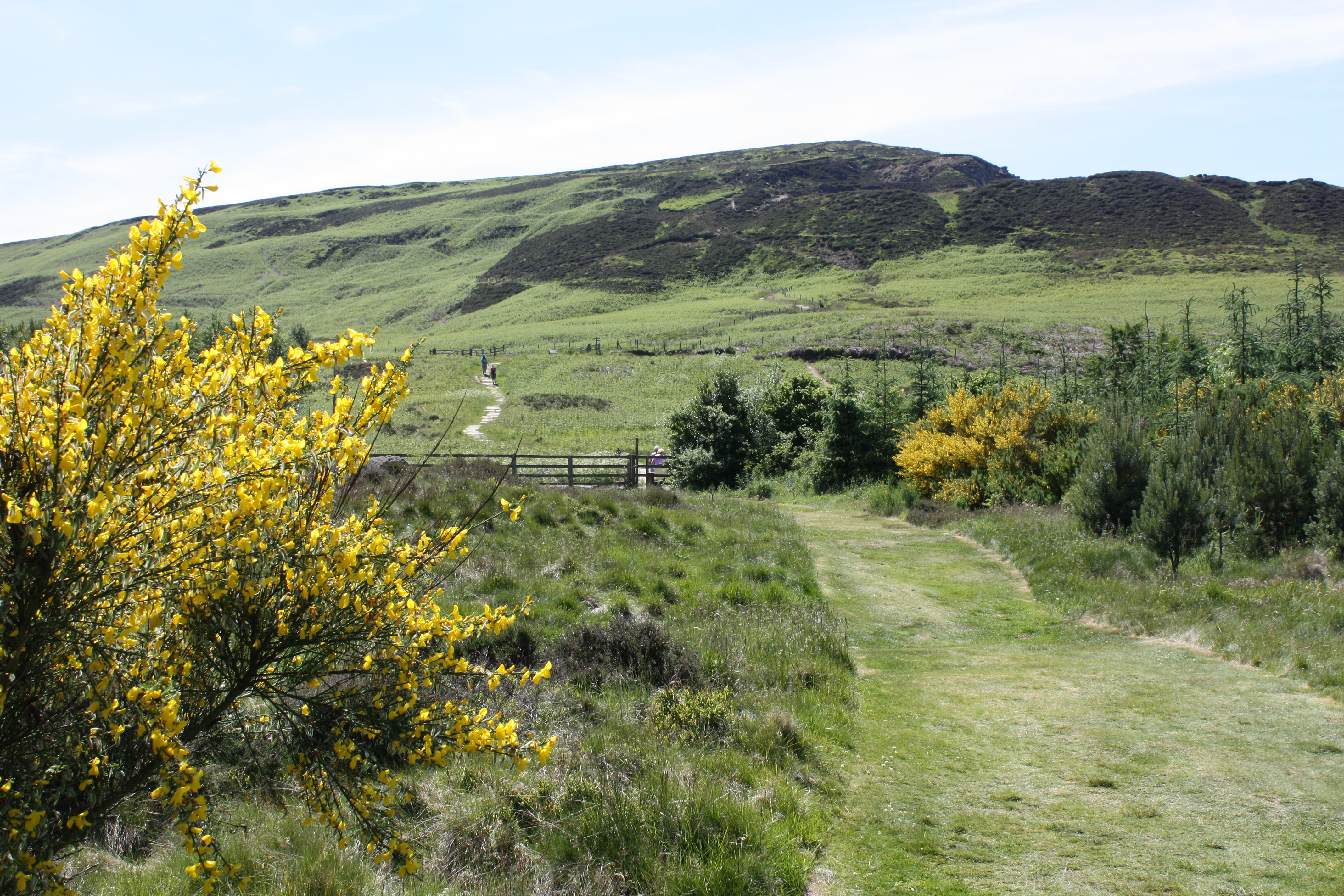
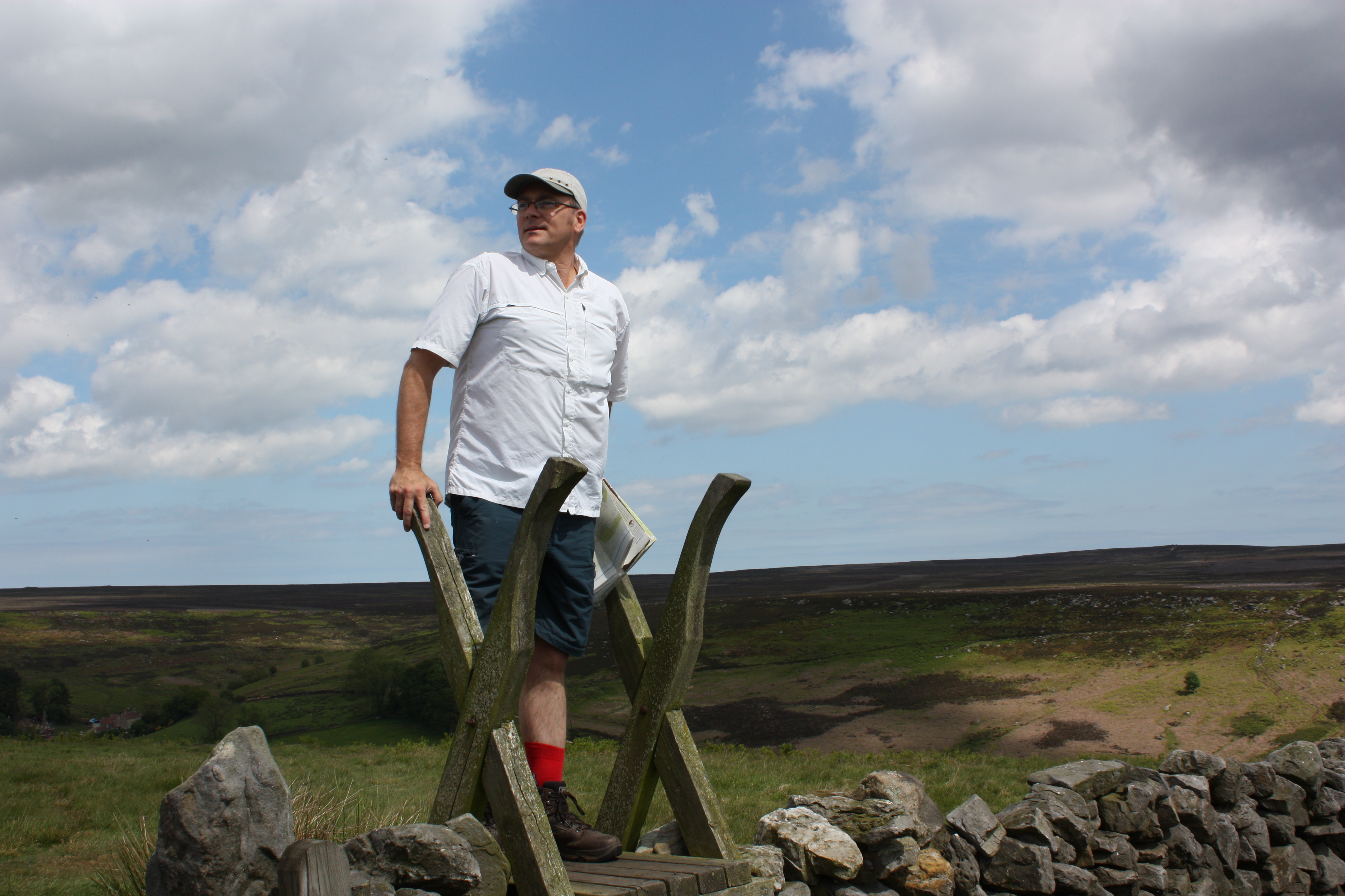
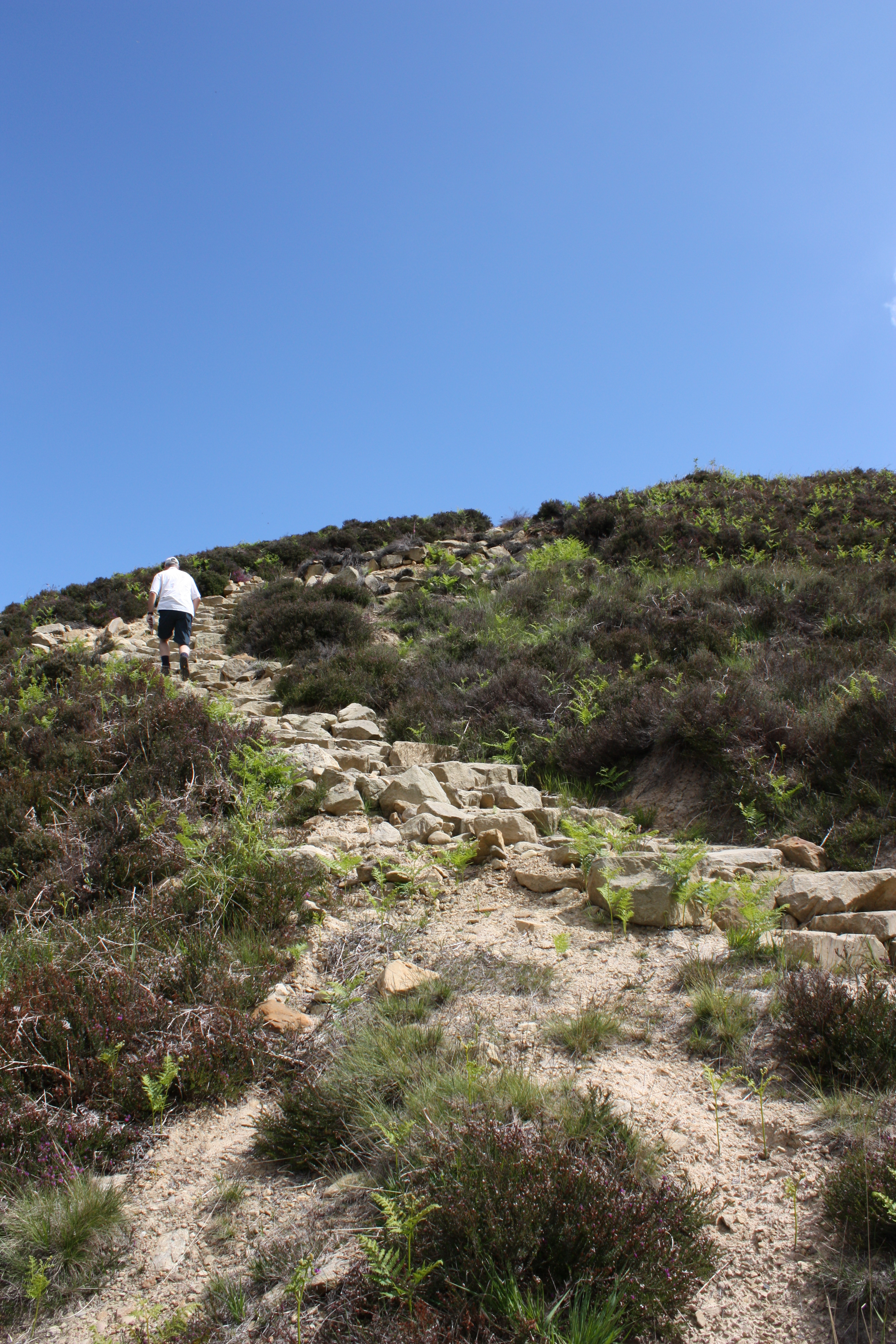
We enjoyed an easy enough amble until the sharp right onto the ascent to Round Hill. The book says this is the section that reminds you that this is a real walk, and so it is. It also reminded me that I should have lost some weight, trained some more and that I should not always have seconds. But then there was the reward of the first high-point of the walk. The high-point for me was the opportunity to gulp some air into my flabby lungs and worry about all the ascents that were to come.
We made Cringle on schedule. I shouldn’t be surprised about that, but I was. We bypassed the Lord Stones Cafe because we had more important things on our minds, and chose to go up and over, instead of around, the hill. On the ascent we came across two women with a carrier bag. Again I found the ascent tough and arrived at the top out of breath and greeted by a howling gale. At the top we stopped to comment to each other about the view and the wind, but we couldn’t hang around for long otherwise we’d be overtaken by two women with shopping. So, on we went. Interestingly, the descent was as difficult as the ascent. Very steep, and although a lot of stone slabs have been put down throughout the Cleveland Way it took a lot of concentration.
The next ascent was a short, sharp climb to Urra Moor. At the top we took a breather (OK… the other two waited for me to catch up) and we watched torrential rain making its way across the hillsides opposite. Whilst we were debating the possible direction of the rain and whether we might escape it, Kev decided on a career change: from Radio Producer to Quick-Change Artist. First effort from Quick-Change-Kev (QCK), a change from dry-weather gear to wet weather gear. Not that quick, but not bad for a first effort.
And off across the high flat moor, where the rain caught up with us and for about 20 minutes I questioned the wisdom of my decision to wear shorts, but soon the driving rain petered out. (QCK: Wet to dry; quicker this time). Finally, onto the old railway. This part I had looked forward to all day. It’s got to be reasonably flat, and it leads all the way to the Lion Inn. Flat, I can do. Just get into a rhythm and keep going. Easy walking, but my word it goes on longer than you expect. Maybe round the next bend… or the next…
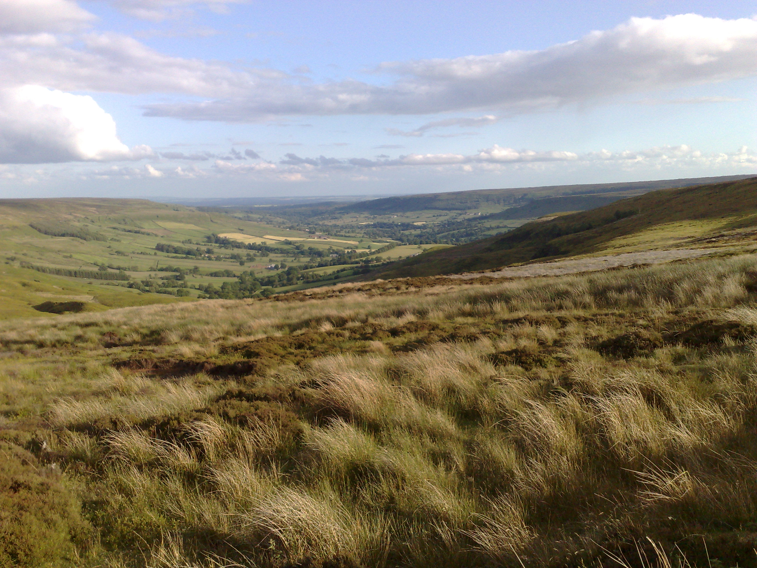
On the way the low sun emphasised the beautiful contours of Farndale and the clouds emptied their last drops onto us (QCK: Dry to wet; quick as lightening). Finally the orange roof of the pub hove into view and we could almost smell a pint of Theakston’s. (QCK: Wet to dry, finally with some confidence).
What a great pub the Lion Inn is. Some shack serving tepid tea would be a welcome sight at this stage of the walk, but in the Lion Inn, despite its isolation, we had a lovely old pub with welcoming staff, fantastic food, great beer, empathy between (mostly hobbling) customers, and comfortable rooms. Nice looking campsite out the front. Oh and they gave us a nice packed lunch because we were leaving early. Apart from that it’s rubbish.
Off to bed about 10 (QCK: Dry to pyjamas. Presumably dry through the night – I didn’t ask) then, in what seems like a blinking of an eye, up again at 3.45.
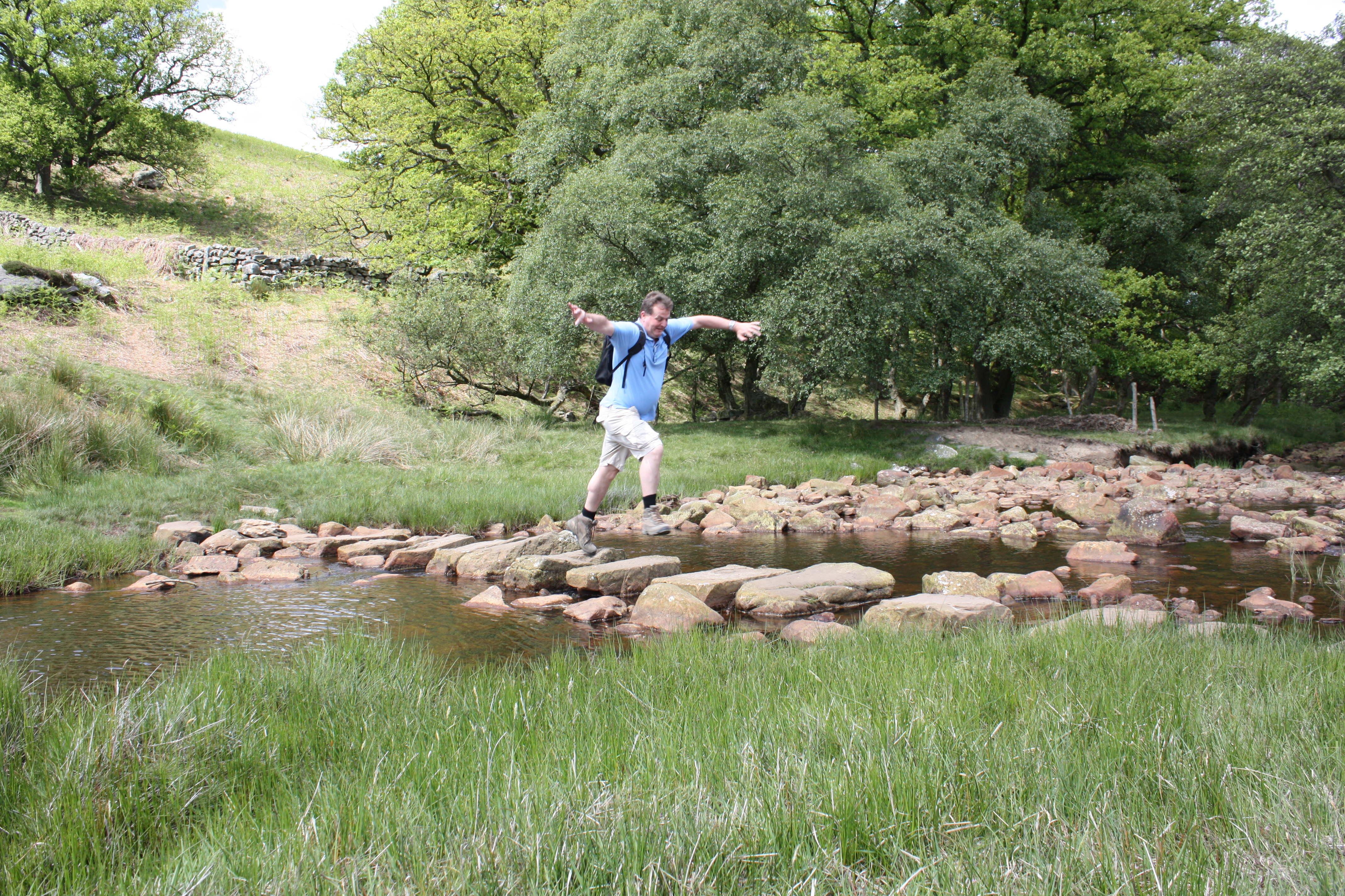
Nice easy start to the day walking the road round the ridge at the head of Rosedale as the sun rose, but at the Fryup turning Russ had to tend to a nasty blister. Then we’re off the road and heading for the much-feared boggy section. It was wet, it was boggy, we had to pick our way, we all got wet, but it wasn’t as bad as we had feared and we got through in good time. We got to the road and congratulated each other on a good section.
But unbeknown to us, our fate had already been sealed back at the tumulus where we had taken the obvious path which forked to the south from the correct path. As a result we arrived at the road too far south, and opposite a very inviting stile and an obvious path heading in roughly the right direction. Fortunately as we headed down the right hand side of a field of sheep
one of the guys realised something was wrong and we checked the map.
With the benefit of hindsight, the correct thing to do would have been to go back to the road and find the correct path. We didn’t have hindsight (or much foresight as it turns out) so we turned north at the end of the field because we’d be bound to cross the path. Wouldn’t we? In doing so we found a whole new boggy section; boggier than the original boggy section on a boggy day. It was during this attempted route-correction that I heard a cry from behind me – something along the lines of “oh, crikey!” – and turned to see Kev’s upper body. And that’s all I could see of him because the rest was under water. Dawson had fallen into the creek. While Russ and I stood and watched, he managed to haul himself out. We checked the map, we took bearings, we followed bearings, we pontificated. In short, we wasted a lot of time. Finally, via a mysterious section of heather that looked like it had been mown, and a forestry track, we got back on the right route.

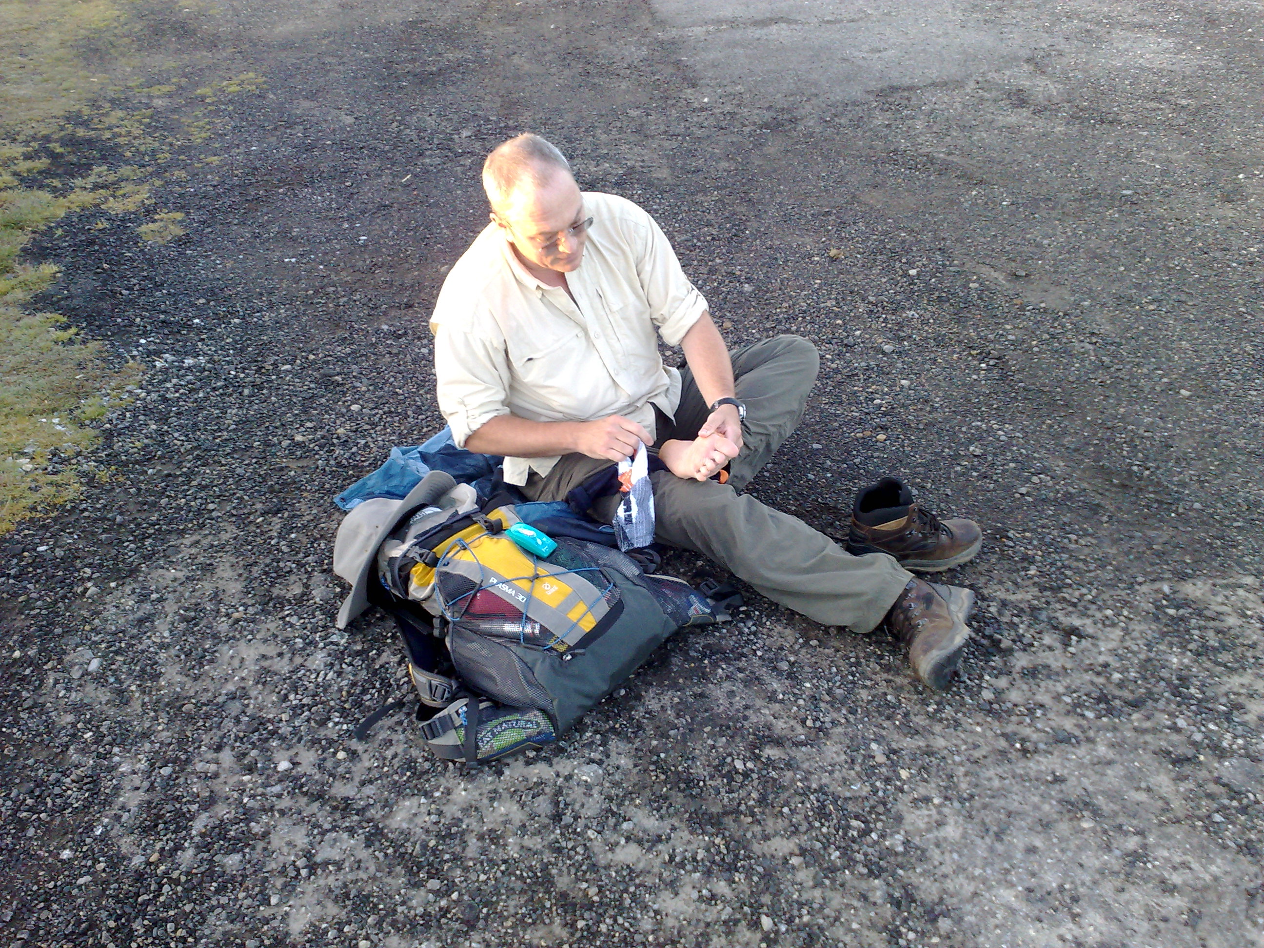
We stopped at the Raven Stones at about 10 to eat the packed lunch the Lion Inn had provided in lieu of breakfast, and to phone our “support teams” (who were about 200 miles away). Russ’s blisters were getting worse, so he added another layer of plasters. He’d also already turned his ankle and as we set off he found another inconvenient rock and with a shout of “goodness me!” he demonstrated his impression of a sack of spuds as he hit the deck. Picked himself up, and within a minute he chose another rock to fall over and with a cry of “well, look at that, I’ve done it again…” he bit the dust. The Seismological Institute recorded twin shocks at 7.5 on the Richter scale. Kev and I briefly considered taking his mini cheddars and leaving him at the mercy of the rabbits, but in the end we helped him up and told him to stop mucking about.
Approaching the drop to the railway we heard the steam trains a couple of times, but then there was no sign of trains as we actually came into sight of the track. We crossed the road at Eller Beck Bridge, and from there the instructions sounded easy. “follow the track round the boundary of Fylingdales, then follow Eller Beck”. Hmm… not so easy in practice. Maybe we were a bit out, but the track quickly disappeared and after jumping across the other beck we were making our way through heather keeping left of the white poles. Where we found paths they were trenches too narrow to walk comfortably so we ended up on the heather anyway. Eventually we found the army’s track and all too briefly the walking was easy, until we reached the muddy climb up to Eller Howe.
And from Eller Howe we could see the mast that marks the finish. And yes, it was a long way away. A long, long way. Kev had been doing mental arithmetic and determined that we could still make it in time. Russ and I went along with that, but mainly because we didn’t have the energy to disagree. But at last there was some easy walking pretty much all the way to Jugger Howe.
All day long I had worried about Jugger Howe. Given my disastrous performance on earlier ascents I was really concerned that I would be so slow as to jeopardise our overall time. I deliberately went ahead and opened up a gap between myself and the others to compensate for my slowness uphill. But in the event we all made it down one side and up the other within 10 minutes. We were all together at the top, and we probably had time to finish. Kev was working out time and distance, decided we needed to pick up the pace a little, and set off. Much as I wanted to pick up the pace, my legs didn’t.
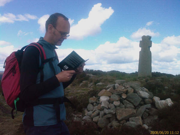
Crossing the A171 we had 45 minutes left to finish, and by this time we’d all run out of water. We would not be beaten so we ignored the snack bar and hauled ourselves up the bank on the far side of the road. Then it was heads down and just keep walking. The book says this section takes half an hour, but I didn’t believe it. Why wasn’t the radio mast getting any closer? Kev couldn’t keep up his increased pace and dropped back a bit. But by this stage we knew we were going to make it. Suddenly I could see the top and the bottom of the mast, and it did look closer. Some people were milling about, working on the path. Where was the stone? The guys were behind me and they had the book. Saw the trig point… and touched it anyway just in case, then one of the workmen pointed me at the stone and I reached it at 13:06. The book was right. Kev arrived a minute later, and Russ a couple of minutes after that.
Three new dirgers, touching the stone.
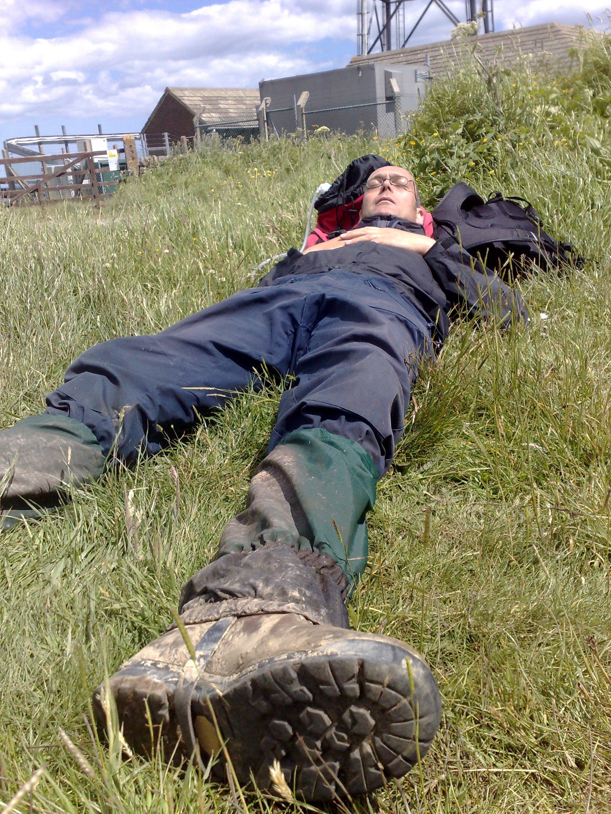
We congratulated each other, took photos and then lay down on the grass. We didn’t have any water, but then we remembered the apples from our packed lunches, which were juicy and sweet. And Kev – Gawd bless ‘im – produced a flask of whisky. Probably a bad idea when you’re knackered and dehydrated, but boy it was good! Eventually we got up and walked to Ravenscar where we had left one of the cars. Suddenly we discovered the pains we had managed to ignore over the last few miles so we walked very slowly, and spoke philosophically.
And we made our way to the Falcon Inn. Another fine inn, and this time we allowed ourselves a full exploration of the bar and the menu.
Because we’re worth it.

What a great blog!
LikeLike
Brilliant Noel! I’ve just really enjoyed reading this again. Our Thames Path walk was a stroll in the park in comparison!
LikeLike
Great read Mr Winst – beginnings of a 21st century ‘Wainwright’s Walks’
LikeLike
Great blog. If you want to walk In the North give me a call. Lindsay
LikeLike
Thanks Lindsay. I will be walking in the north at some point and I will give you a call. Cheers!
LikeLike
You’re my hero! Good on you, Noel. Very entertaining reading too!James and I want to do the Overland track through the Cradle Mountain National Park (supposed to take 5-6 days), so when you feel like heading down under, let us know!
LikeLike
Thank you! I just Googled Cradle Park and it looks amazing. I feel like heading down-under right now, but my bank manager disagrees…
LikeLike
Well done. Scarily I feel jealous. A great read as well. It looked like the weather waskind to you though.
LikeLike
Don’t be jealous! You can come next time. Because there is unfinished business on the moors… Over various visits the weather has been kind, but the weather has also on occasions beaten me about the head and upper body with a blunt instrument. And we are talking mid-summer’s day… Be warned!
LikeLike
Congratulations on following your sister’s advice – that are usually right. Great reading, love the photos, what happened to the maps?
When you want to walk in France you have a base in
Paris where you are very welcome.
Love Anne
LikeLike
Thanks Anne – didn’t have the app when I was in Yorkshire, but you’ll see the maps from now on. Thank you for the invitation – I will have to contrive a walk based in Paris! x
LikeLike
Is Noel Churchill a ‘nom de plume’ for Bill Bryson?
We enjoyed the read and it took me back to my days running the ICI
Challenge Course in the 70’s.
Very impressed — then I kept seeing references to Pubs/Inns but
couldn’t find the word ‘tent’ anywhere.
Derek and Yvonne
LikeLike