

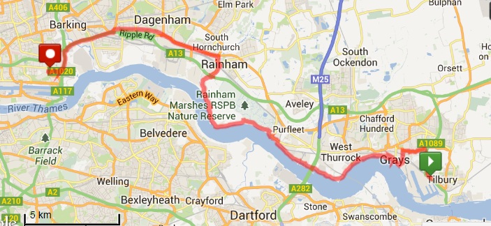
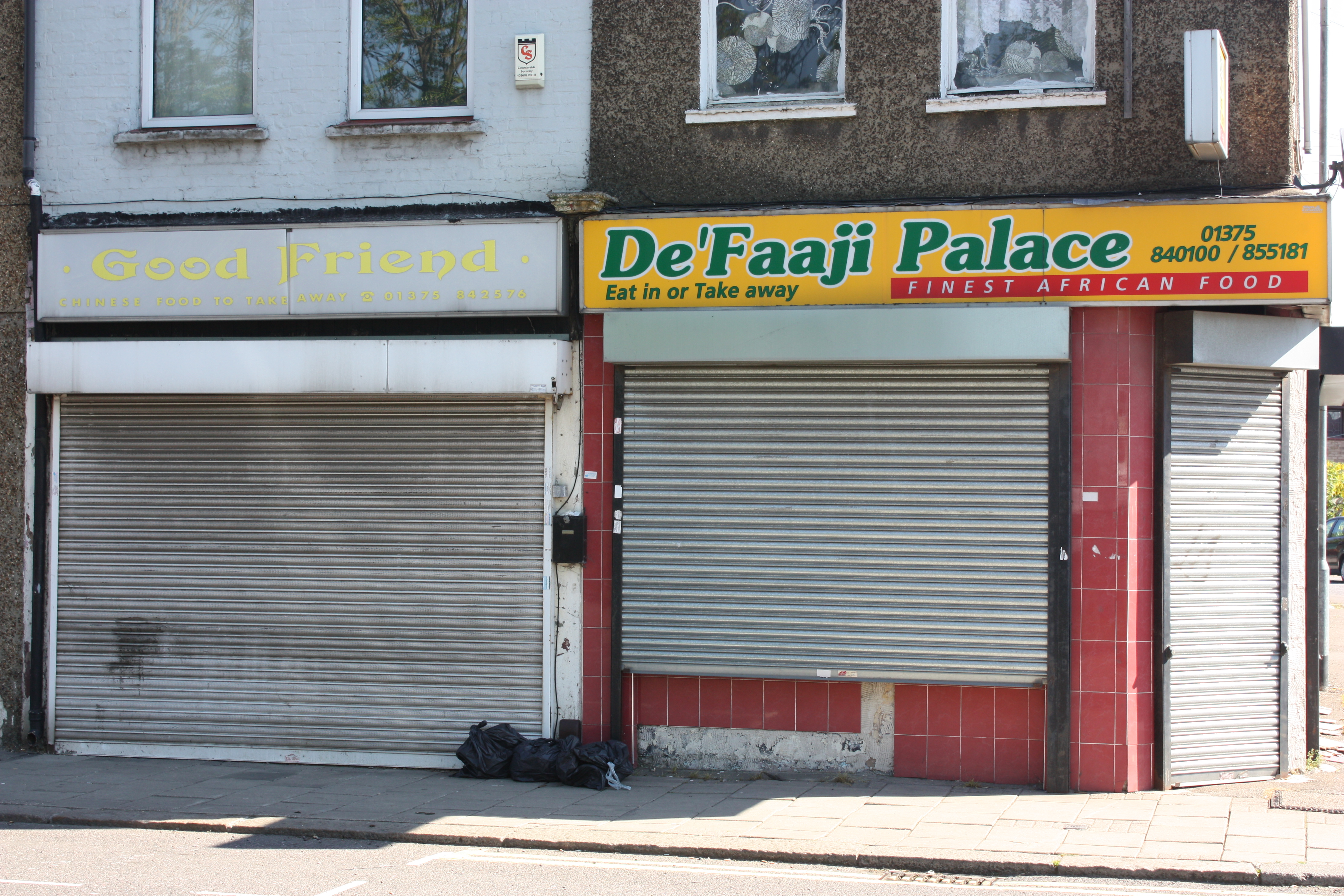
 There is a reason that the official Thames Path only goes as far east as the Thames Barrier, and the reason is this: Dagenham. Oh, and Tilbury. No offence to the good people of this part of Essex but there is so little of the Thames that is accessible in this area that a river walk becomes a walk along busy A-roads. But that’s my choice and in future legs there will be less roadside, more riverside and countryside. There will also be more cafes, ice cream vans and pubs. I’m sure it’s coincidental, but as soon as the latter was mentioned Russ became interested in joining me on the next leg.
 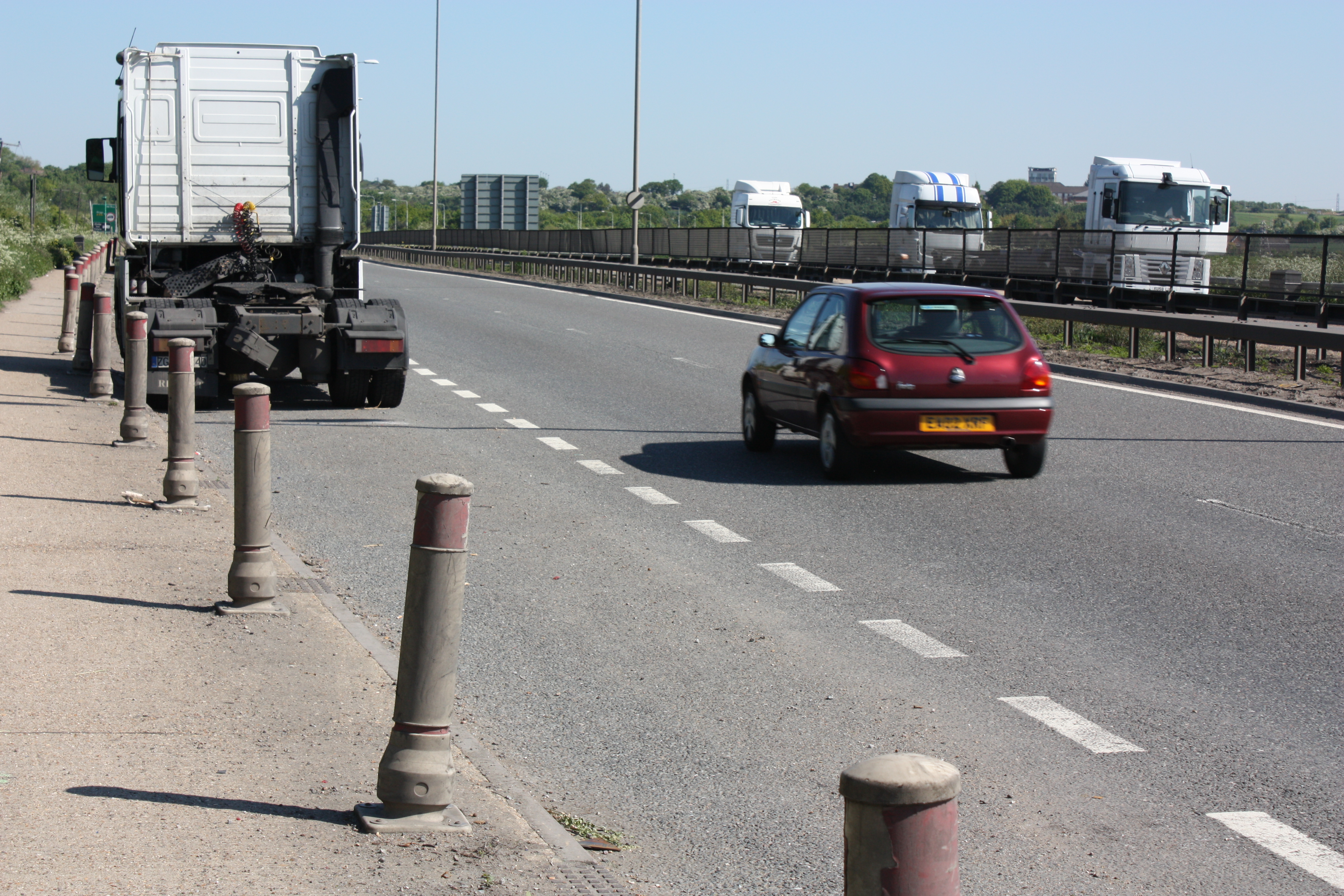 I don’t have much to say about Tilbury and Grays, other than they are not high on my list of potential holiday destinations. But their grimness was not unexpected and I admit that I started this leg more with a sense of “getting it out of the way” than with anticipation of anything exciting or beautiful. However, it is an ill wind that blows nobody any good, and as I paused at a bench during my trudge up the A1089 from Tilbury to Grays, I sat sat to adjust my boots. And as I did so, I found a pair of reading glasses on the bench next to me. They were brand new and still had the sticker on the lens showing (a) that they were cheapo supermarket glasses and that (b) they were a much higher magnification than I normally need. But I gave them a try, as you do, and immediately found that they are absolutely brilliant for map-reading. So, I’m sorry that someone lost their new glasses, but thank you anonymous benefactor!
 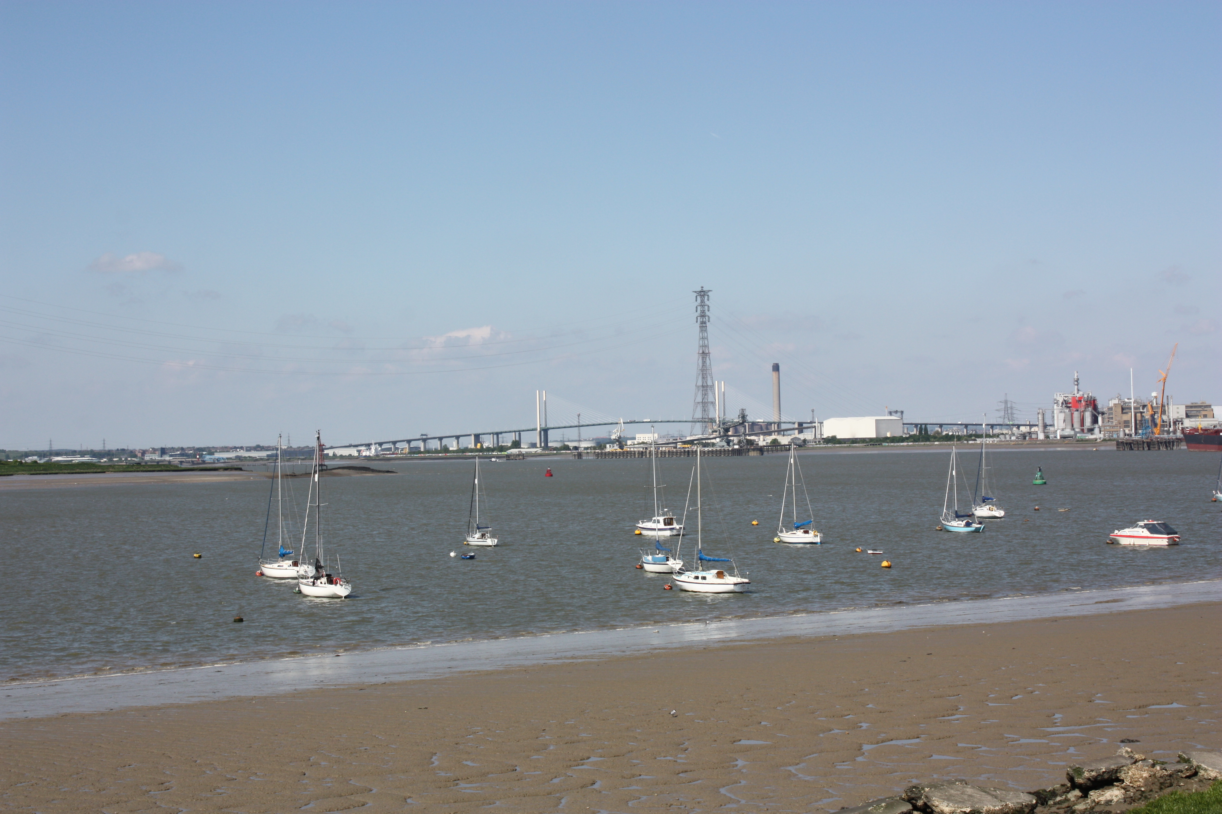 I was pleased to get back to the river near Grays, and even more pleased to see sailing boats bobbing about on their moorings. Pleasure craft had been in very short supply since I passed Benfleet on leg 1. There were the usual joggers / cyclists / walkers along the riverside but there was a marked lack of cheery greetings despite the sunny day. Then I realised that due to the sunny day, I was wearing sunglasses. Of course people can’t make eye-contact if they can’t see my eyes, and that is bound to discourage cheery greetings. So I removed my sunglasses and awaited the next passers-by. It made no difference. I have concluded that the cheery greeting quotient mainly has to do with location and situation. The more remote the location and the more empathetic the situation, the greater the likelihood of a cheery greeting.
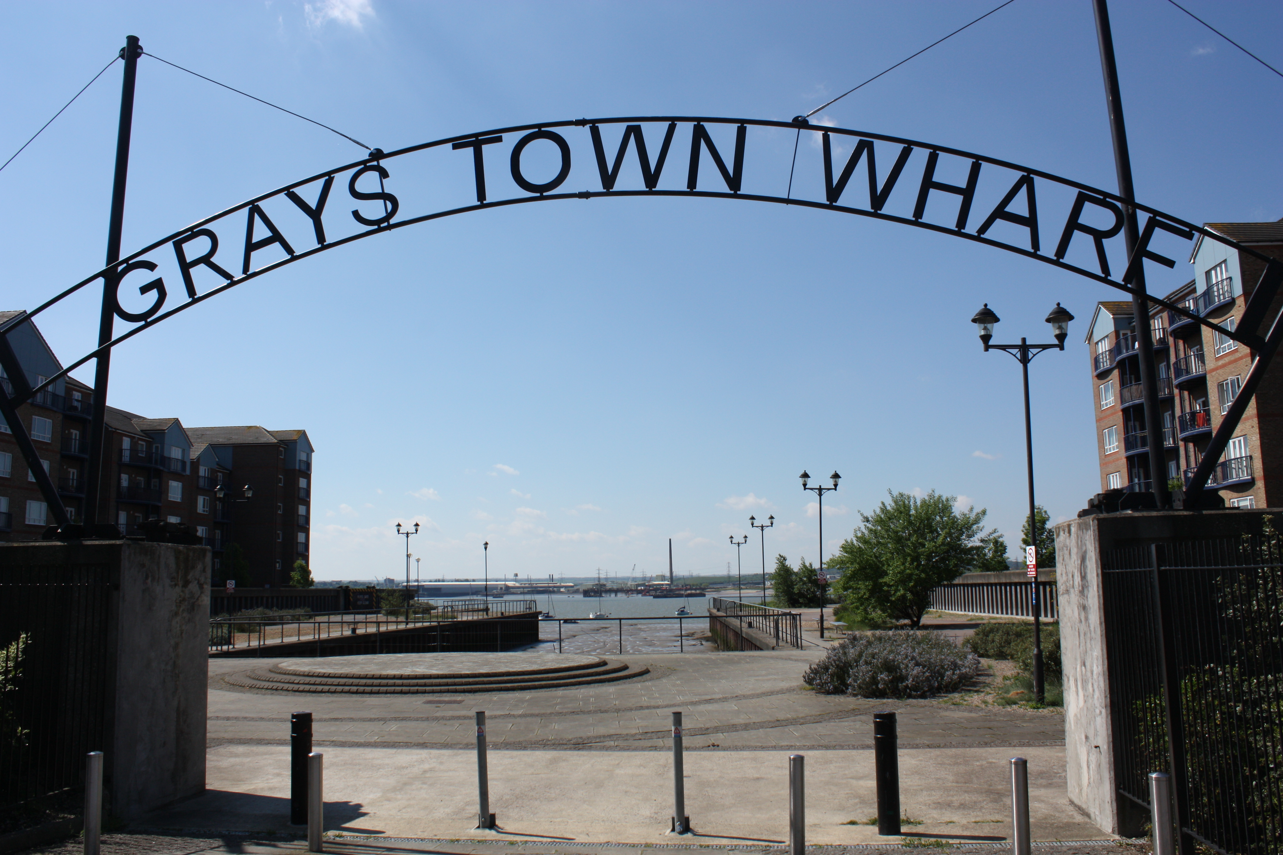
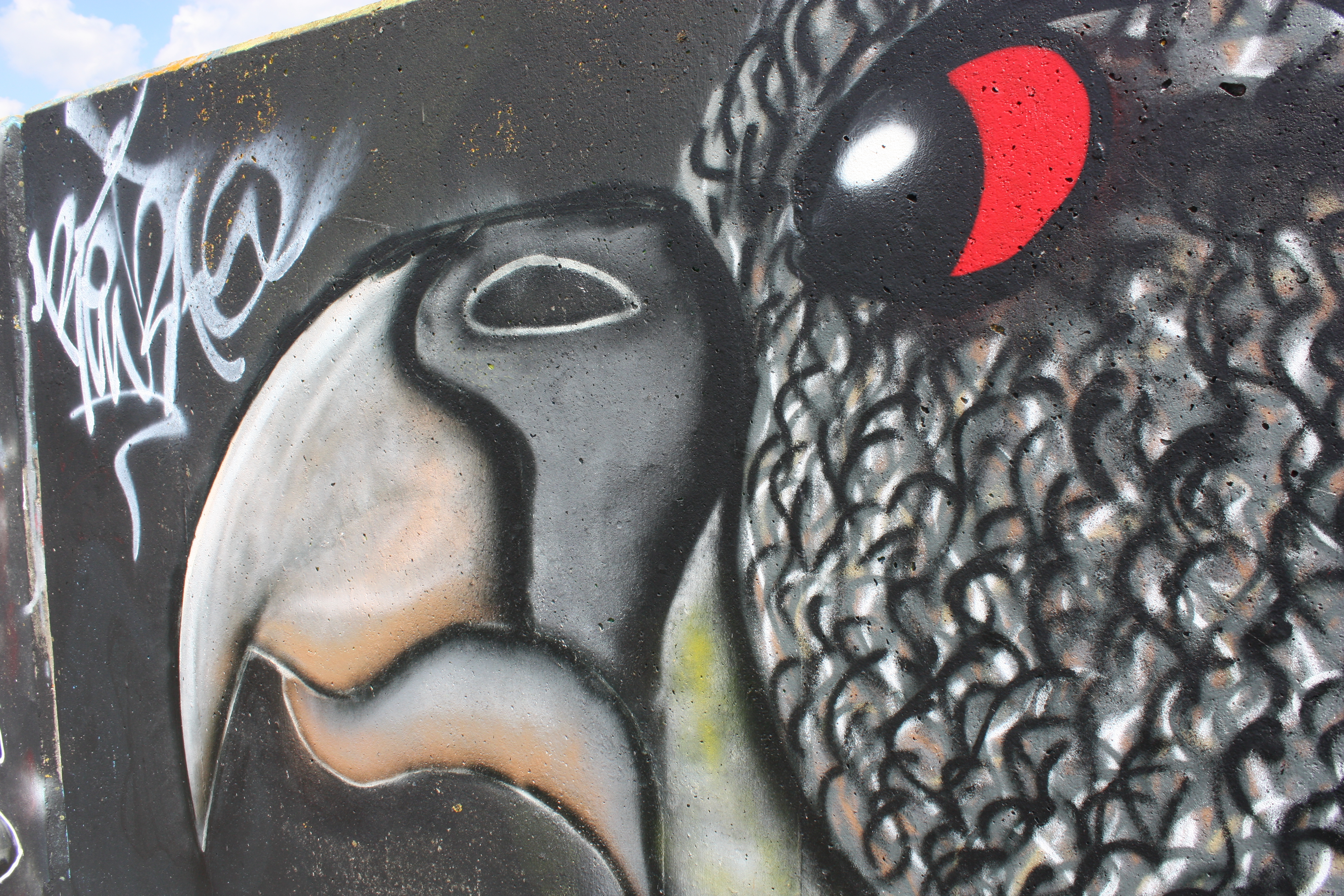
I followed the – now very familiar – flood defence wall to the QE2 bridge at West Thurrock. The grey concrete is – or was – a blank canvas which has attracted graffiti artists. I say “artists” rather than “vandals” because their work actually adds something to an area that would otherwise be very dull. There were some artists at work but I decided not to photograph them as I’m still not sure how legal or otherwise their work might be.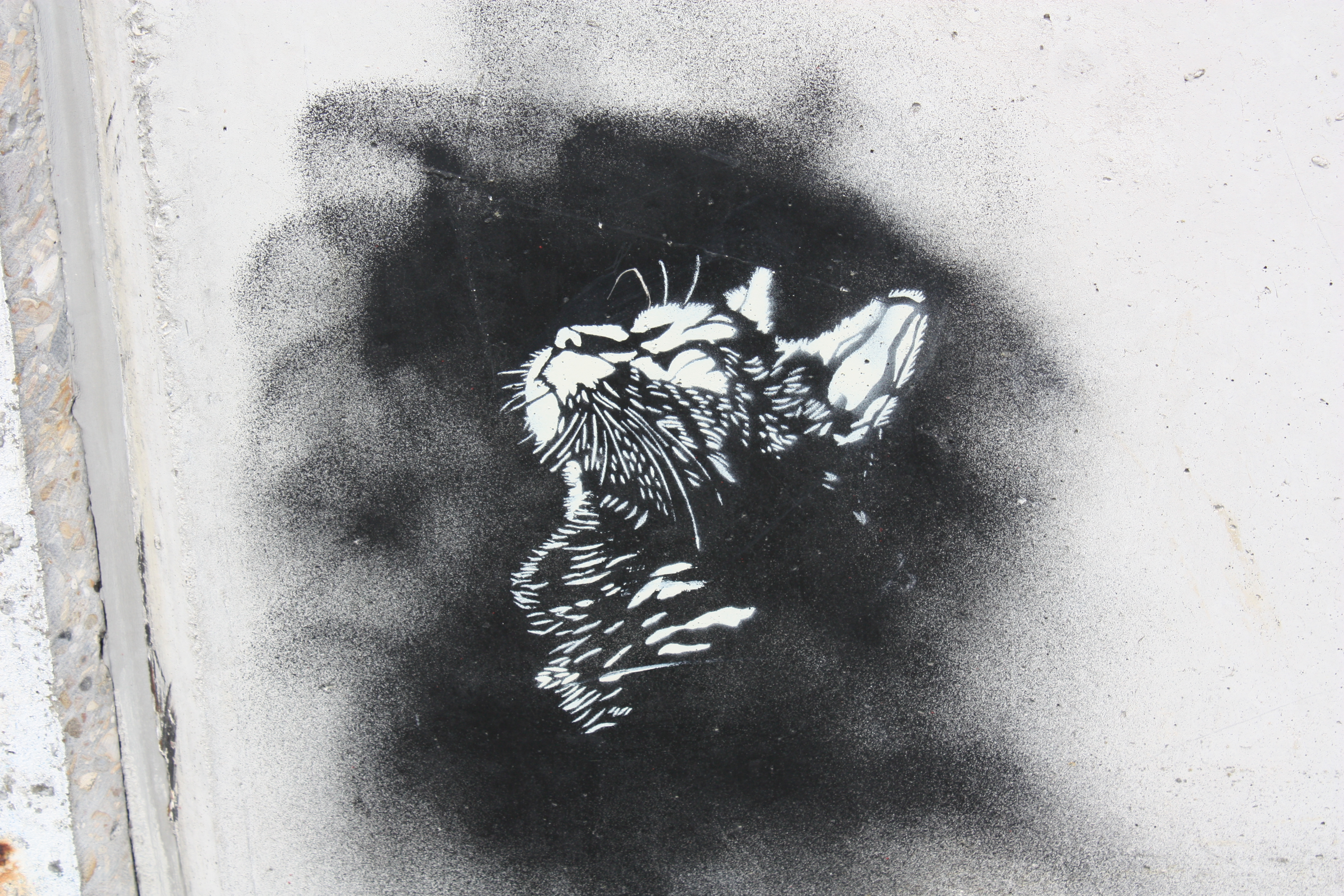
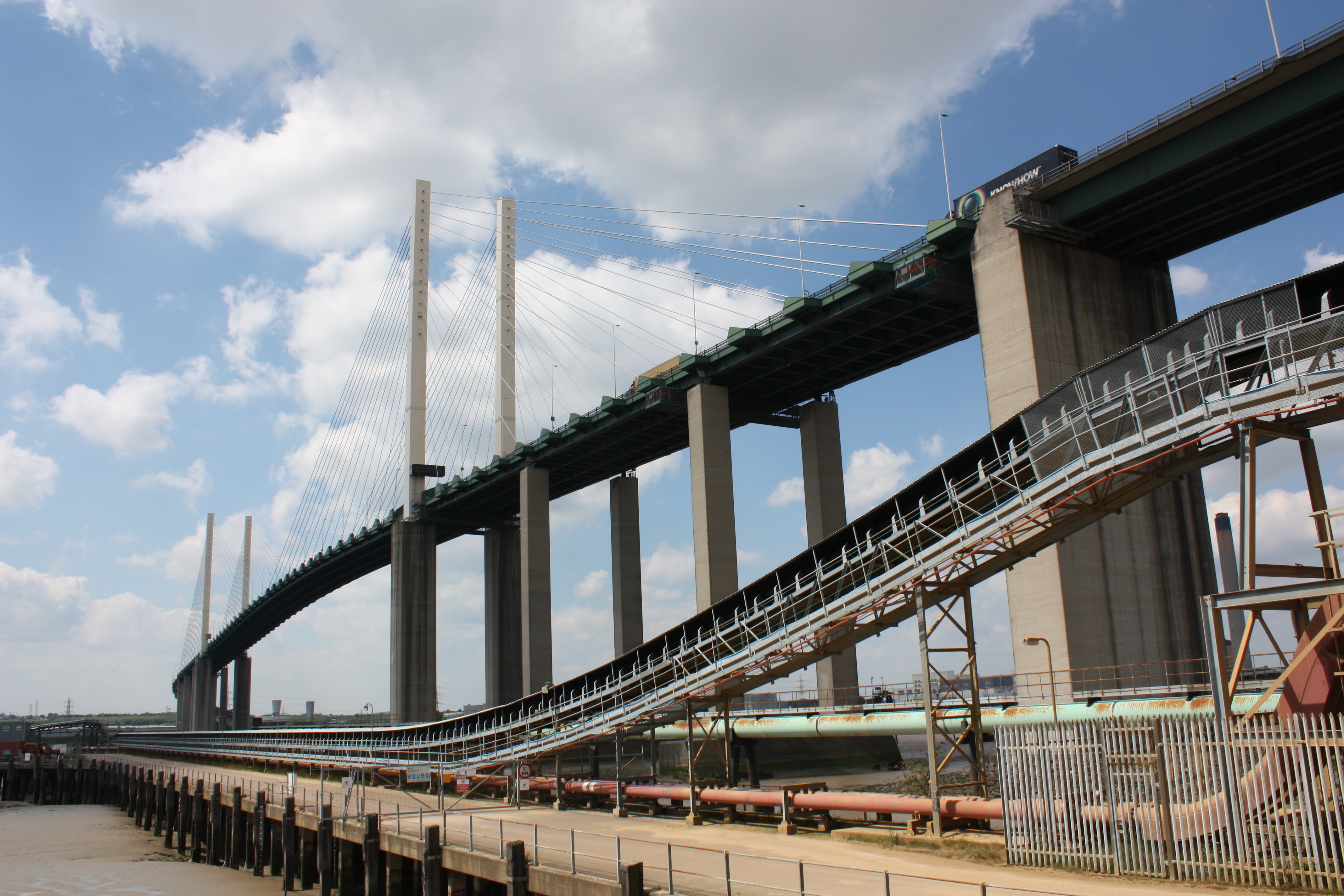
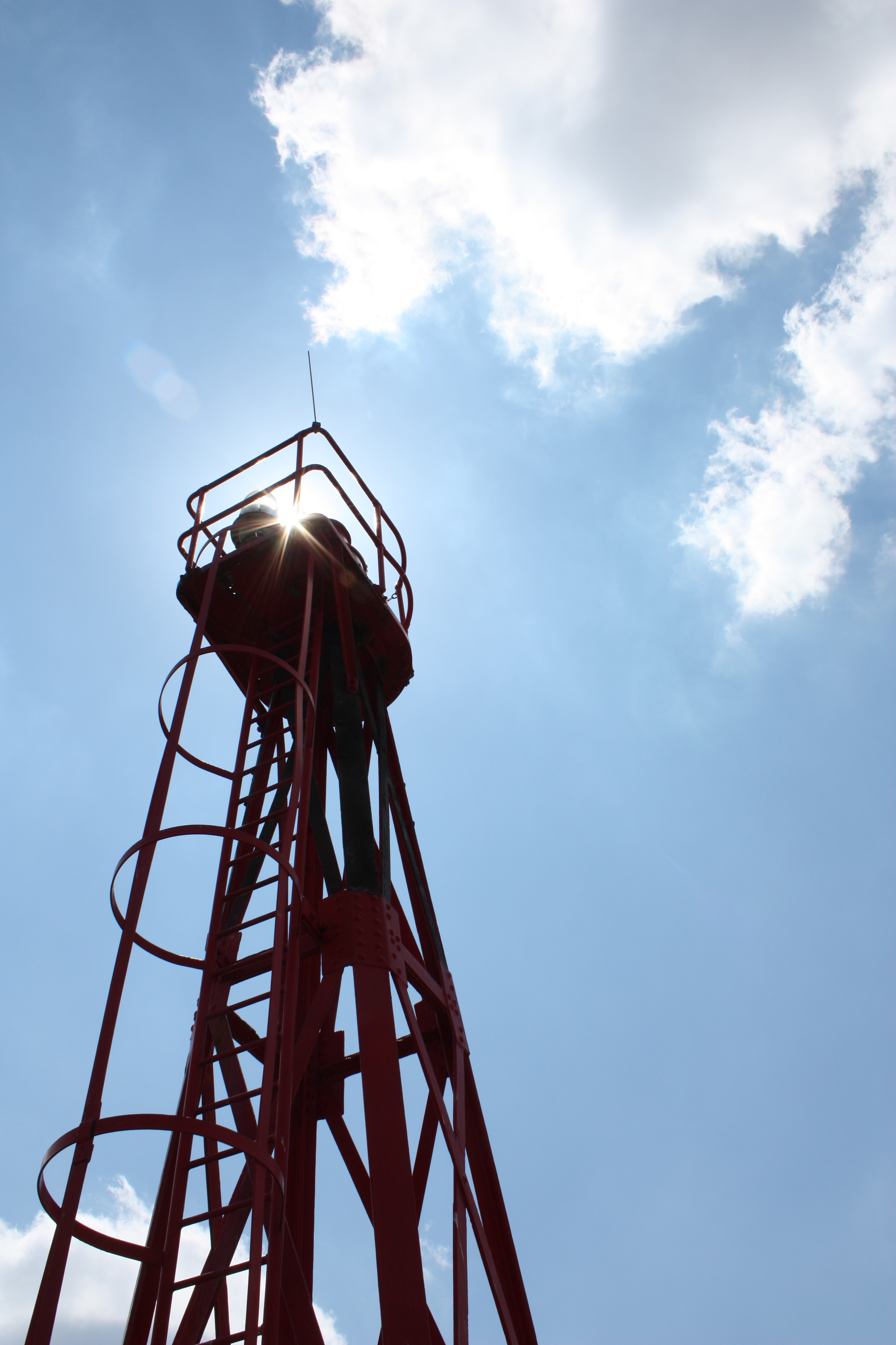
On the couple of occasions I have crossed the bridge I have been struck by the sheer scale of it and the height (213 feet) at which one crosses the river. I had been looking forward to seeing it from ground level but, although it is still a very impressive structure, I didn’t get the same impression of great height from below. Maybe it’s because it seems normal to be at ground level looking at something 213 feet above, but less normal to be in a car 213 feet above the ground.
Leaving the bridge behind, I started to hear gunshots from the Dartford Marshes on the other side of the river. I have no idea what they might have been shooting but there must have been a lot of them as they were banging away like Cozy Powell on speed, and it continued until I was out of earshot. As I approached Purfleet I passed some industrial units that had corrugated cladding. This had the effect of making the echo of the gunshots sound like a typical spaghetti western shoot-out soundtrack “peeeying! peeeyoooow!”. I’m not sure if I was good, bad or ugly (and I don’t want to know, thanks) but I lived to tell the tale. At Purfleet I briefly left the river then rejoined it by the Royal Hotel. And – as if by magic – the tide was in! Thus far I had managed to conduct my walks mostly at low tide so, as you will have seen in the photos, the Thames appeared as a narrow river flanked by wide mudflats. I ate a ham roll and admired the view; it looked a lot better with the water right up to the banks. 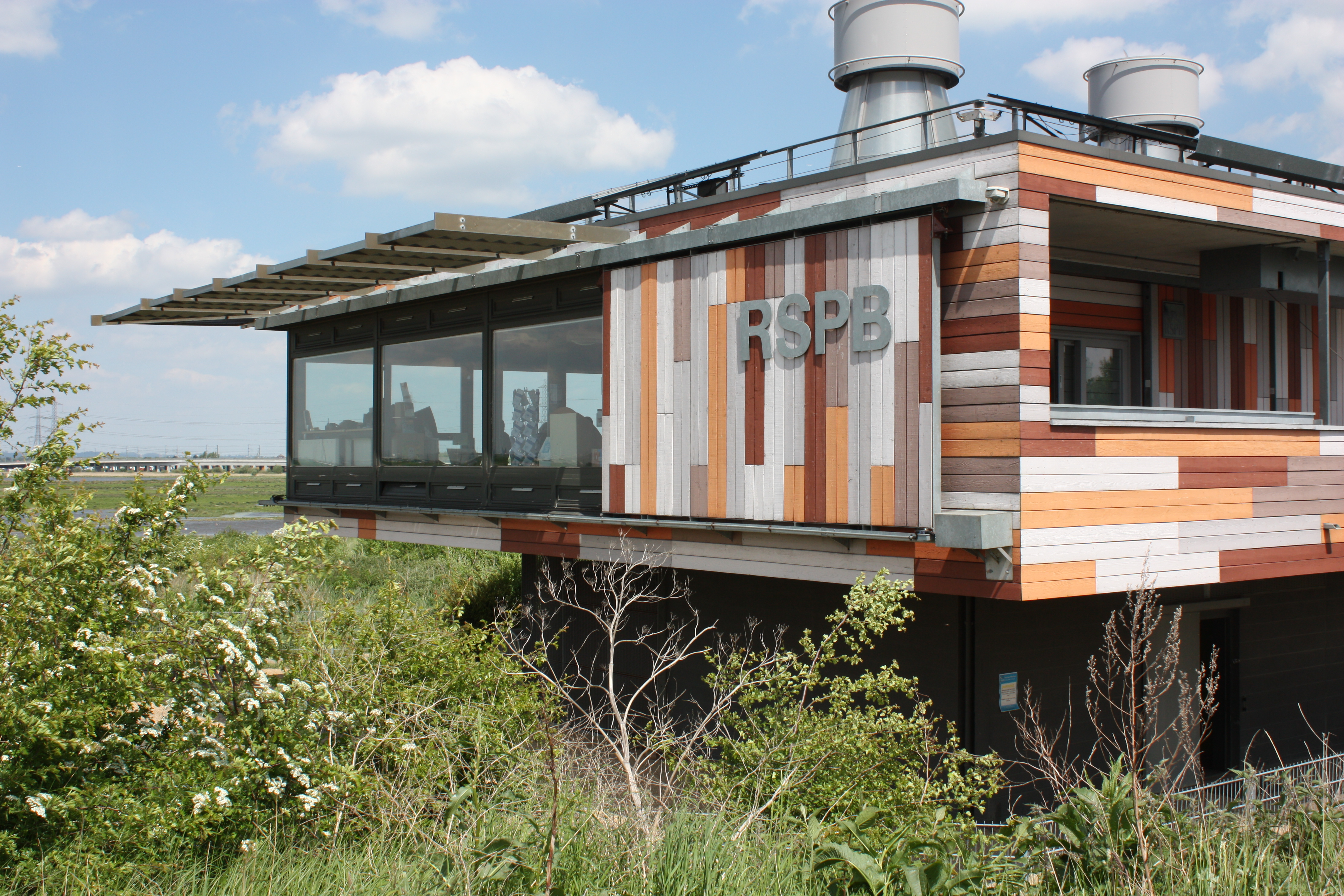 And then out into the open countryside of Aveley Marshes and Rainham Marshes. Aveley Marshes used to be an MoD firing range but is now an RSPB reserve with 200 species of birds and a lot of people with binoculars. It also has a visitor centre, which is surprisingly gaudy for people who like to spend their time camouflaged in hides. Looking at the website now I see that I was supposed to pay £2.50 for the privilege of access. Sorry about that RSPB, but you don’t make it very obvious. Much of Rainham Marshes has been returned to nature from landfill and it makes a pleasant walk.
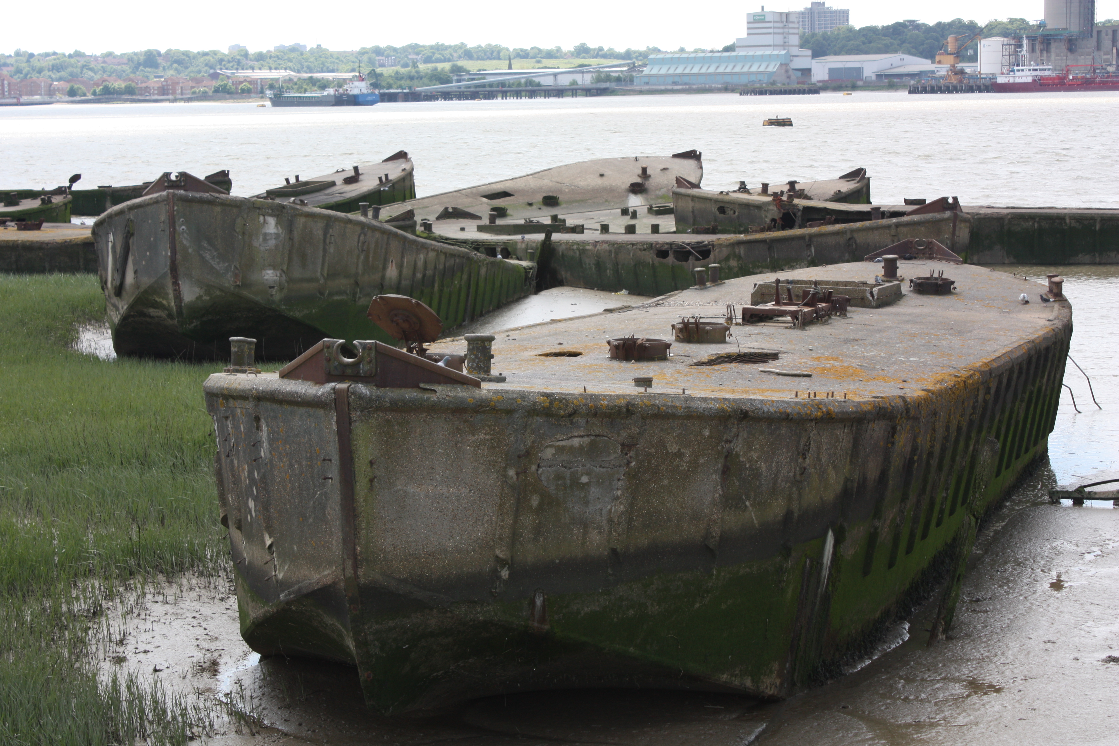
There’s a lighthouse. And a sculpture that looks like a deep-sea diver standing in the mud. And concrete barges that were apparently used in the D-Day landings.
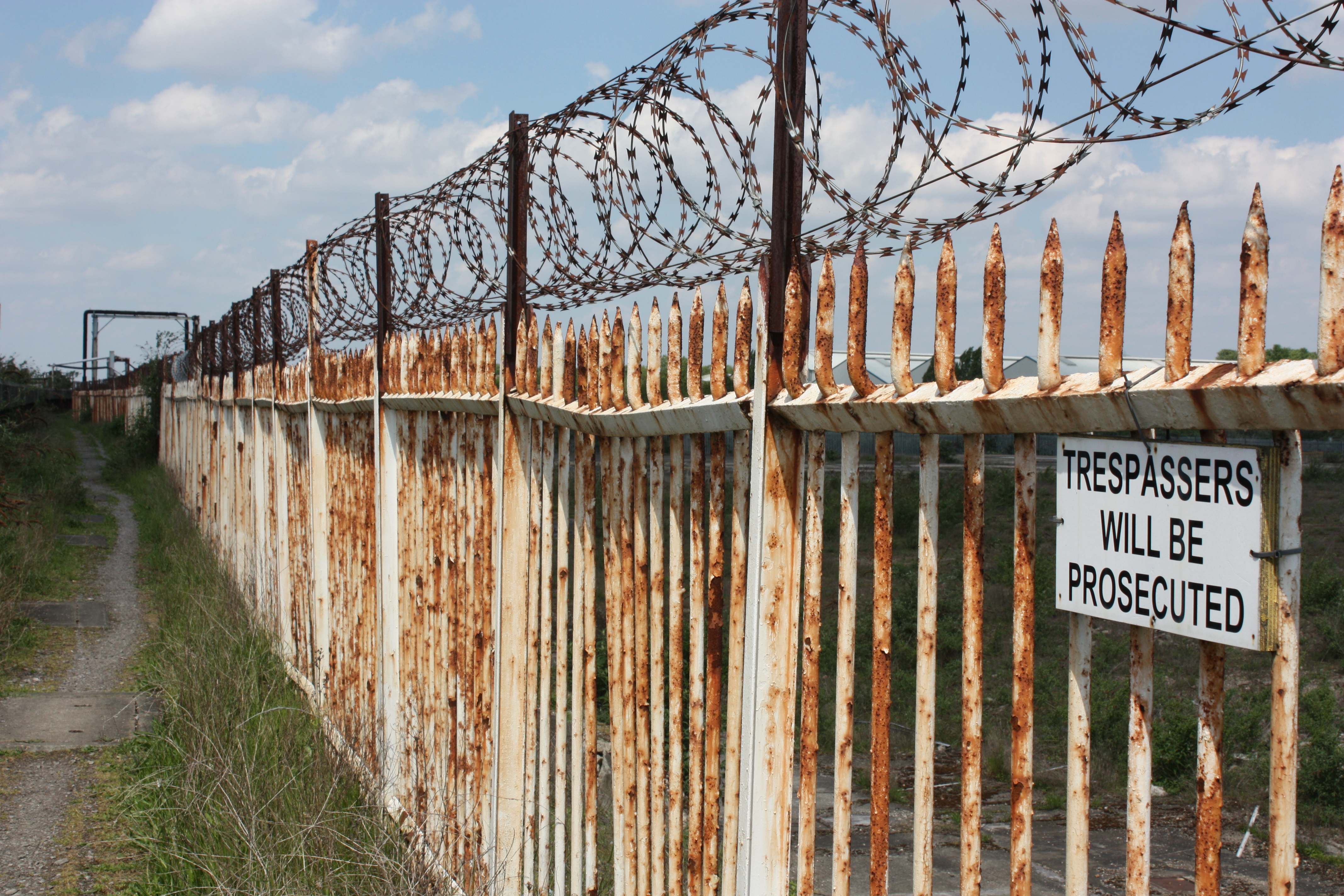
Eventually the path brought me to the site of the 12th century Pilgrims Ferry which used to carry – unsurprisingly – pilgrims between Rainham and Erith on their way to Canterbury. Unfortunately at that point I entered ugly territory. Through an industrial estate, under the A13, over the railway, along the seemingly endless A1306 to Dagenham, through Dagenham, back to the A13, then down the North Circular to Beckton DLR. Absolutely nothing to commend the last few miles of this leg, but job done.
Mileage today: 20.65
Mileage to date: 66.00
Mileage to date, as the crow flies: 28.4 miles
Mileage to go, as the crow flies: 90.3 miles

I enjoyed your walk today – you describe it so well I could really picture it. It almost felt like I was doing the walk. The graffiti looked amazing.
LikeLike